


- MLS#: OM715523 ( Land )
- Street Address: Tbd 152nd Lane
- Viewed: 27
- Price: $24,995
- Price sqft: $0
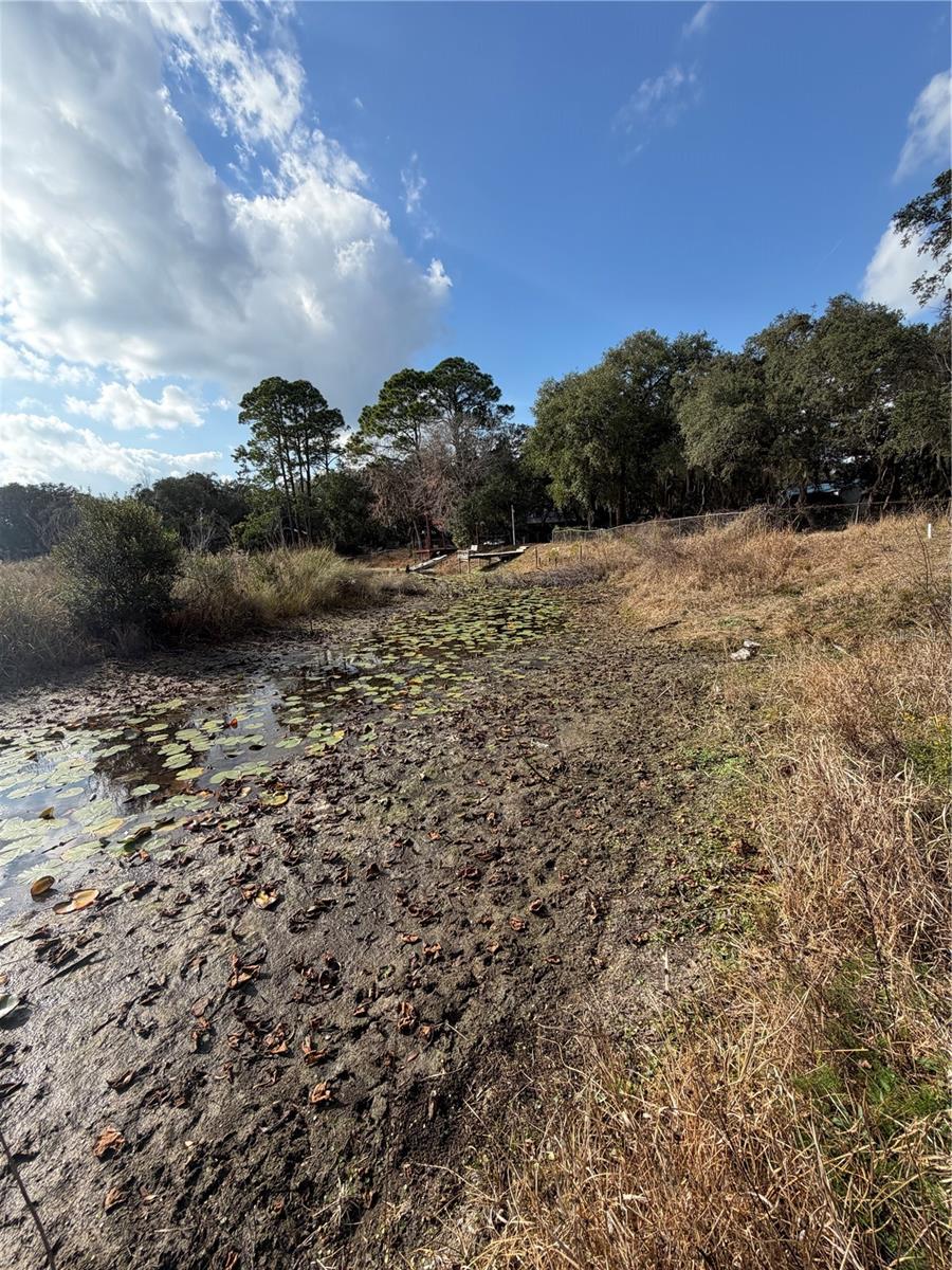
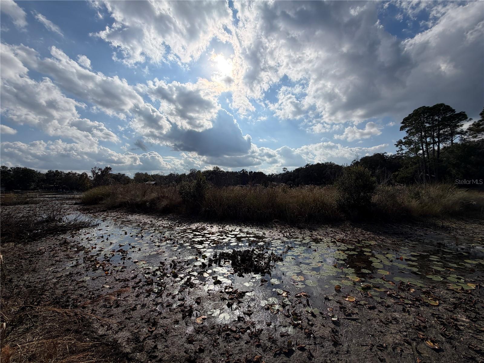
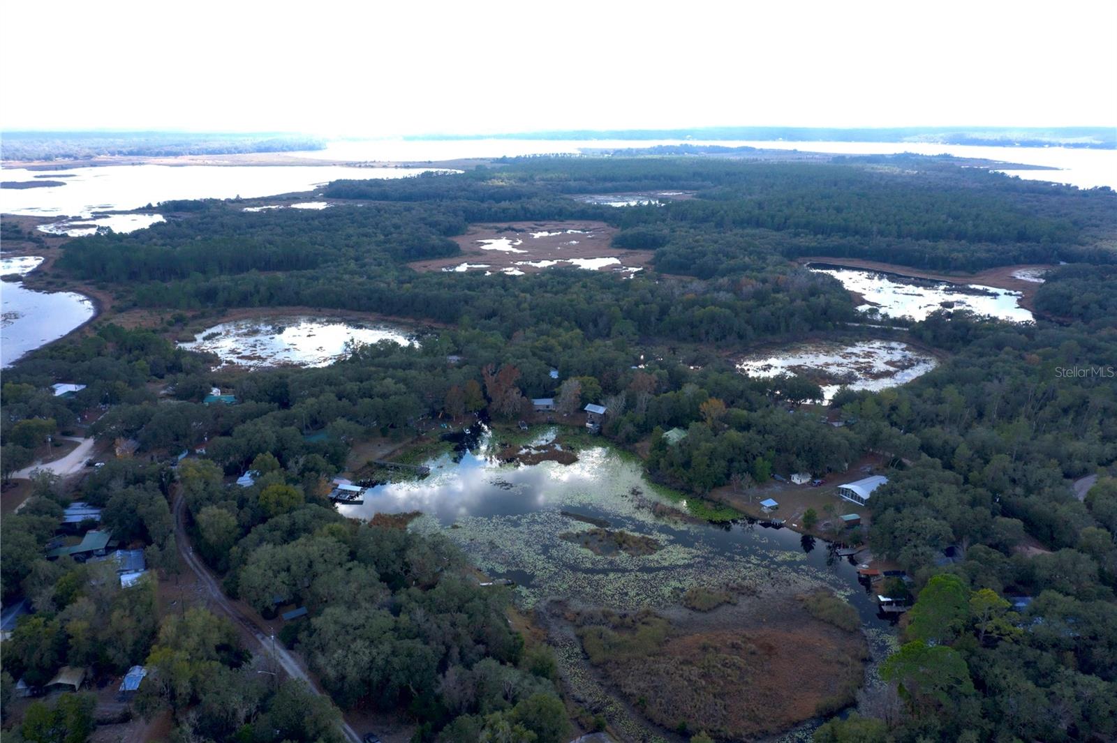
- Waterfront: Yes
- Wateraccess: Yes
- Waterfront Type: Canal - Freshwater
- Year Built: Not Available
- Bldg sqft: 0
- Days On Market: 73
- Additional Information
- Geolocation: 29.3742 / -81.7562
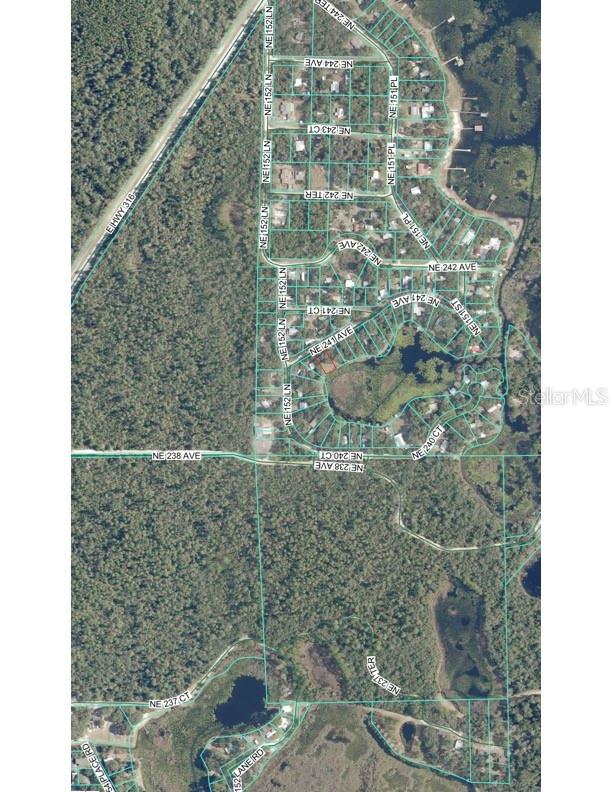
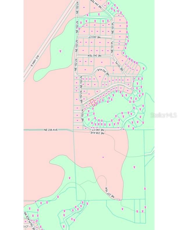
- County: MARION
- City: SALT SPRINGS
- Zipcode: 32134
- Subdivision: Lazy Acres
- Elementary School: Fort McCoy
- Middle School: Ft McCoy
- High School: North Marion
- Provided by: ROUNTREE REALTY CORP.
- Contact: Duke Rountree
- 352-572-1739

- DMCA Notice
-
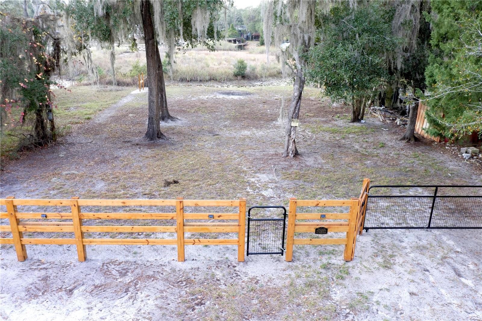
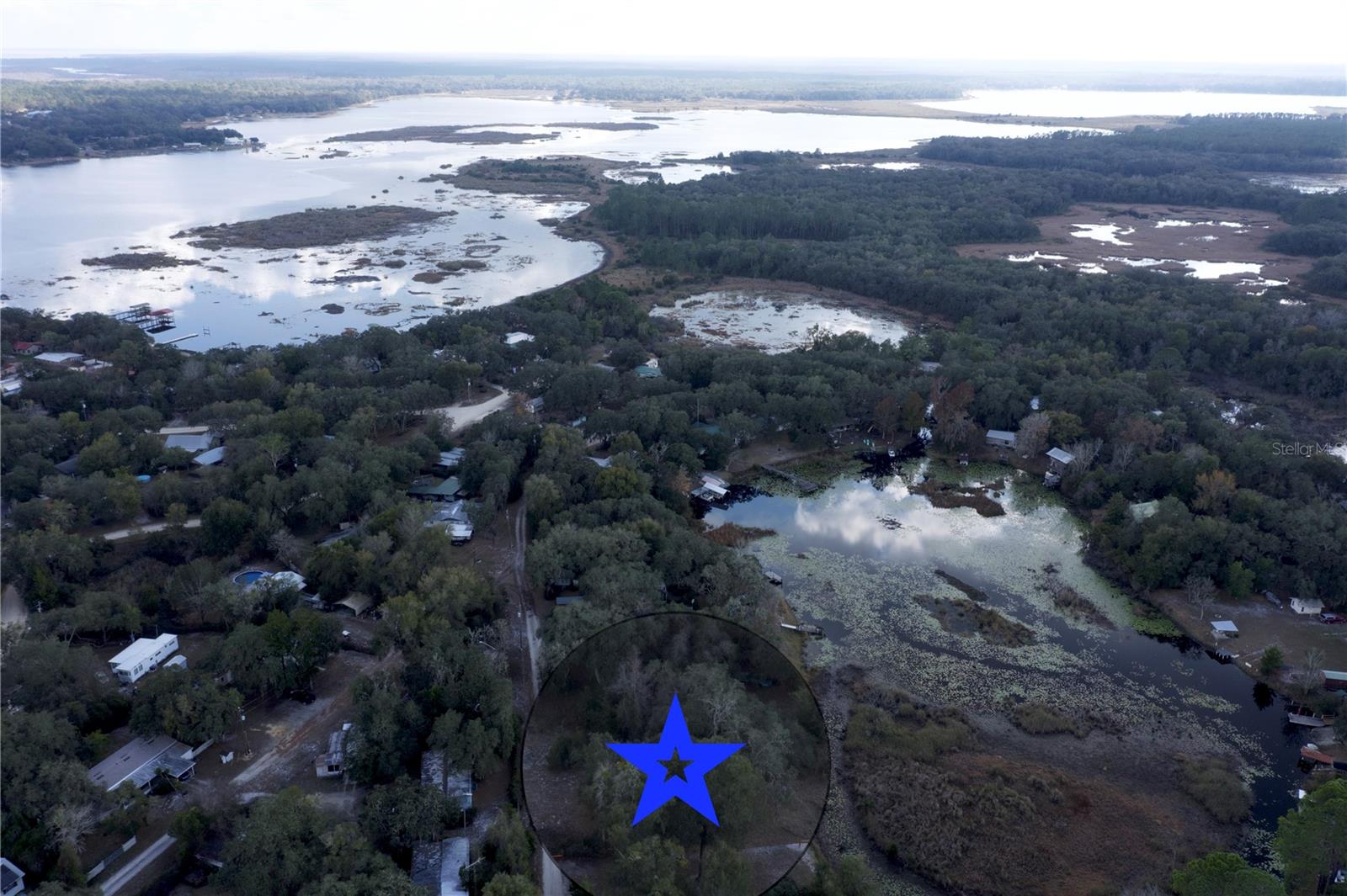
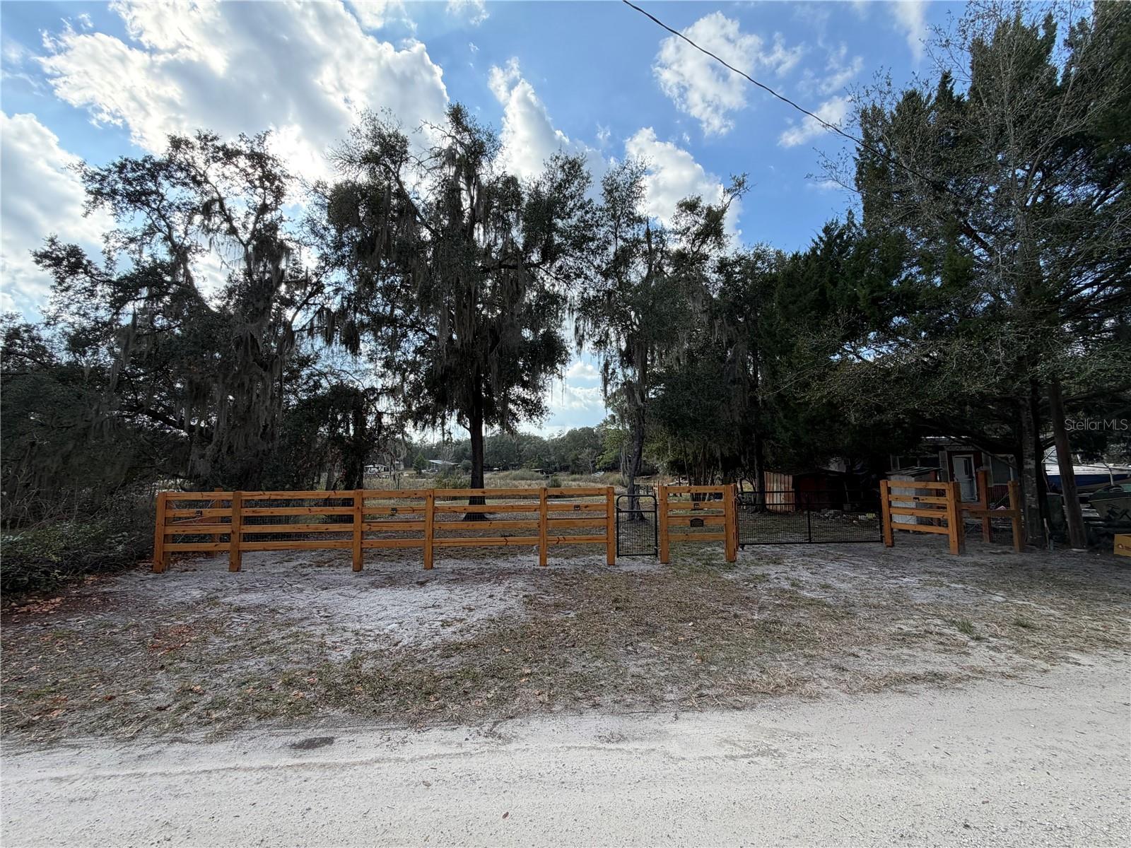
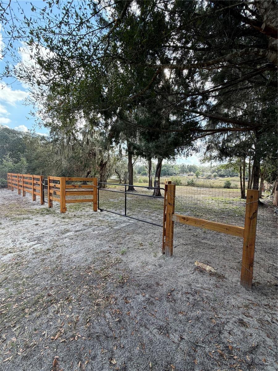
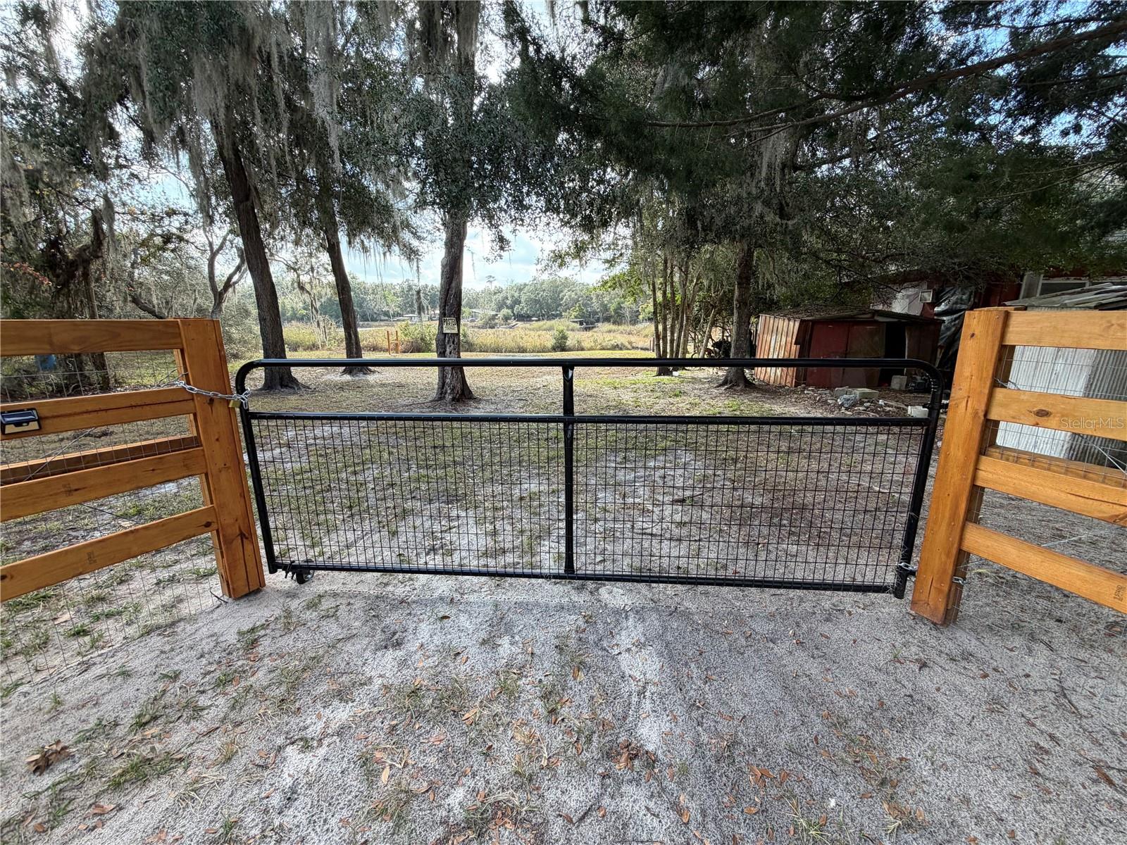
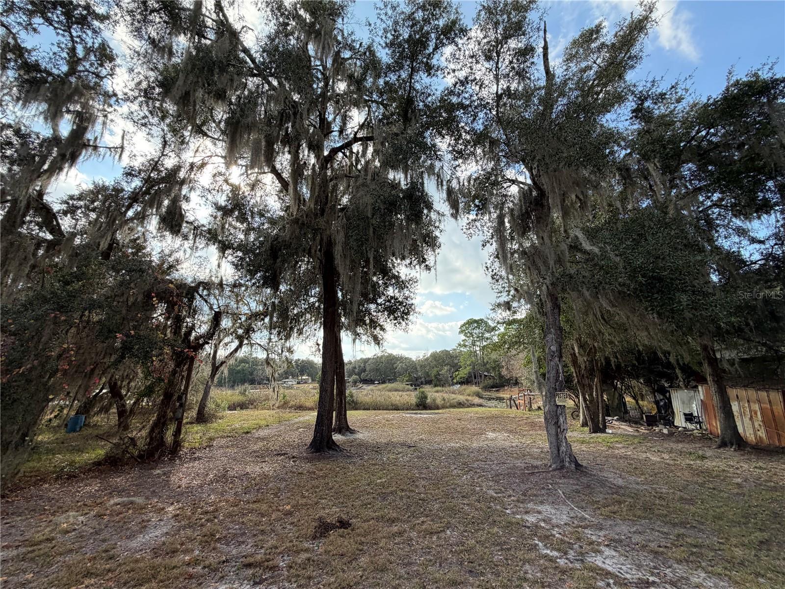
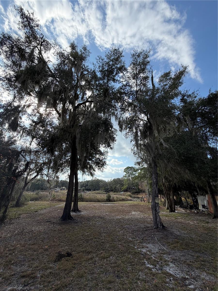
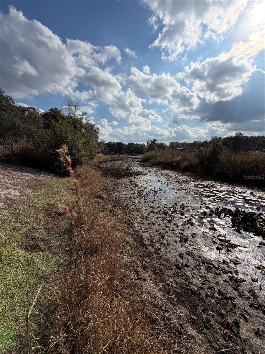
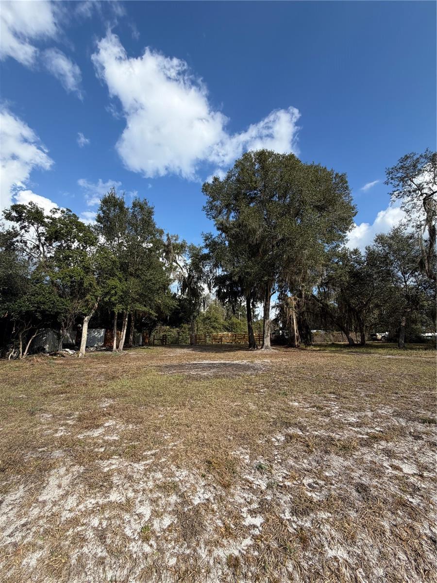
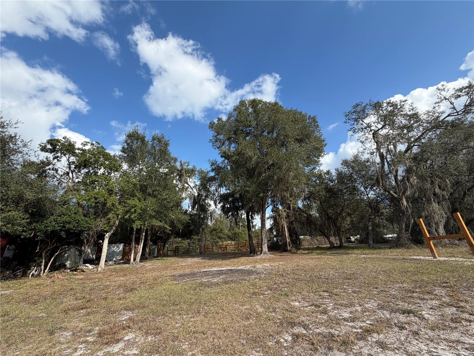
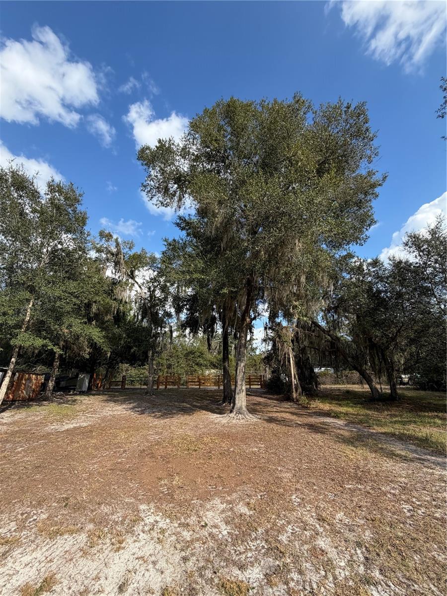
DescriptionCanal waterfront property is .16 acres with R 4(Residential) zoning and leads to Little lake Kerr and short boat ride to Lake Kerr. The lot is mostly cleared and ready for your new home. Beautiful lot includes 60' of frontage with wood/wire fencing, entry gate and vehicle gate. Mostly cleared with a few large trees. Water level is low at this time but always comes back. Located in the heart of the Ocala National Forest w/ beautiful Salt Springs swim area, boat launch and short ride to Lake George and the St. Johns River. Salt Springs is also home to miles and miles of ATV/SxS, Horseback and hiking trails. Great fishing year round in the many lakes, rivers and forest ponds, and don't forget about the excellent hunting too. Close to local shopping including grocery store, Dollar General, hardware, gas station, great restaurants, entertainment and more. Only short 30 minute drive to Ocala or Palatka for all your needs.
