

- MLS#: G5101065 ( Land )
- Street Address: 42012 State Road 19
- Viewed: 204
- Price: $279,900
- Price sqft: $0
- Waterfront: No
- Year Built: Not Available
- Bldg sqft: 0
- Days On Market: 238
- Additional Information
- Geolocation: 28.9609 / -81.6506
- County: LAKE
- City: ALTOONA
- Zipcode: 32702
- Provided by: CARLINO REAL ESTATE GROUP INC
- Contact: Alex Vonhartman
- 352-326-2662

- DMCA Notice
-
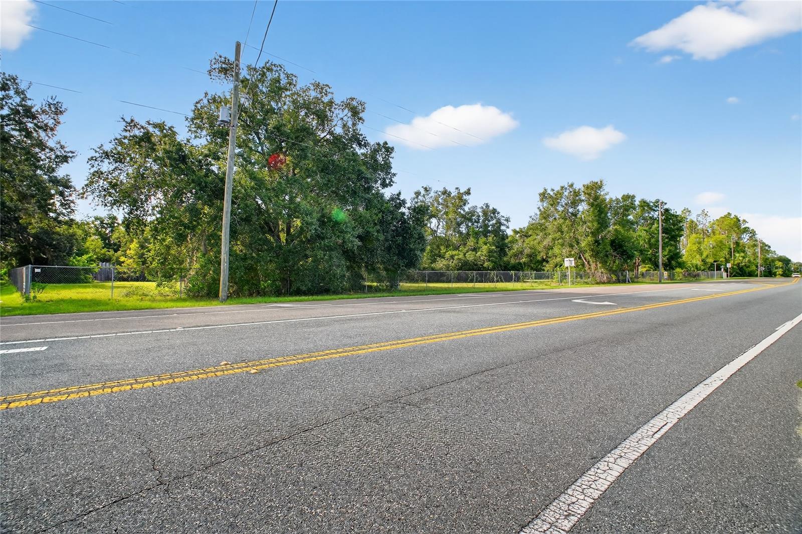
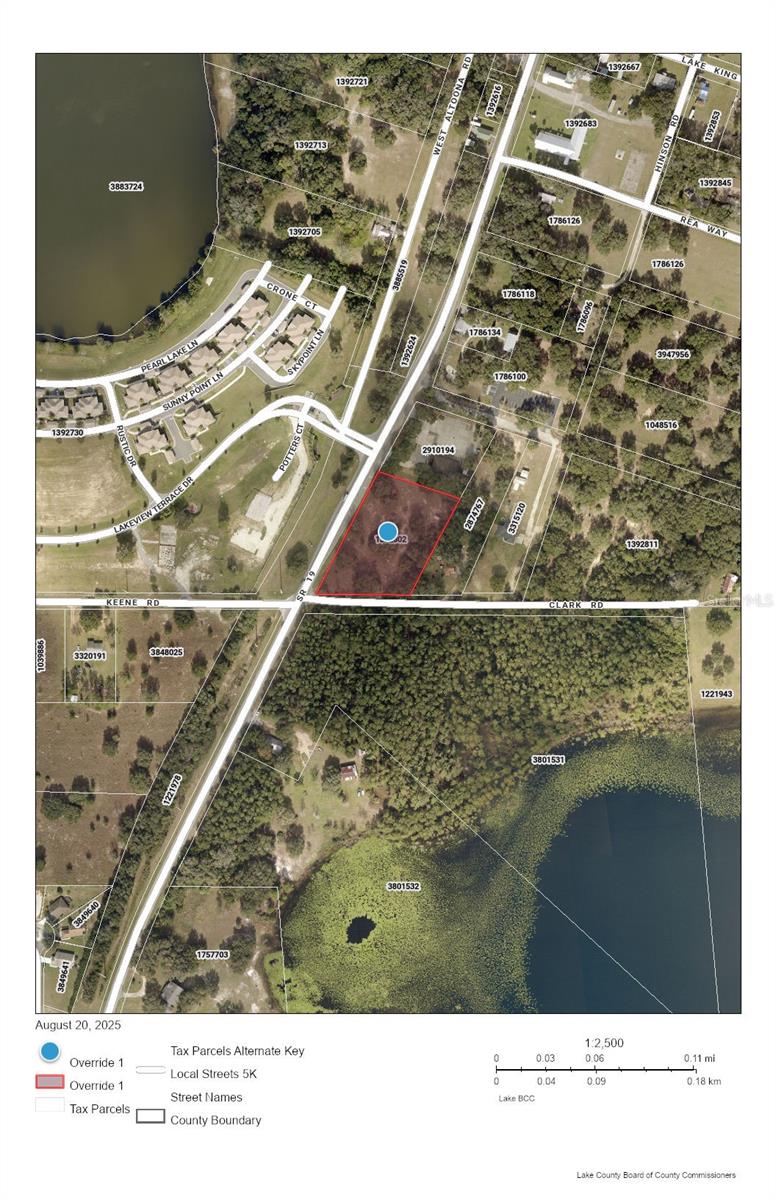
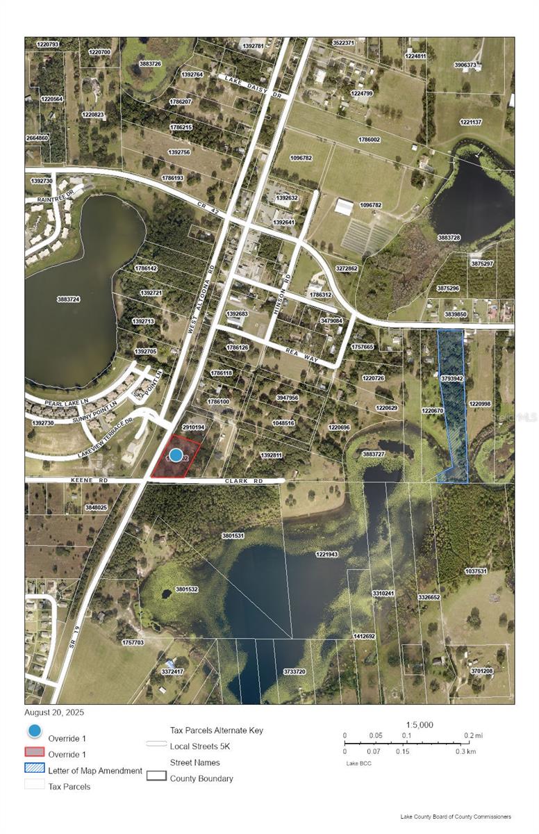
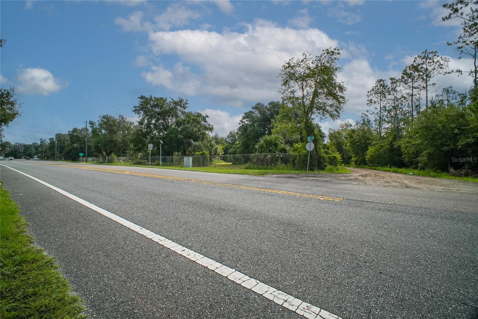
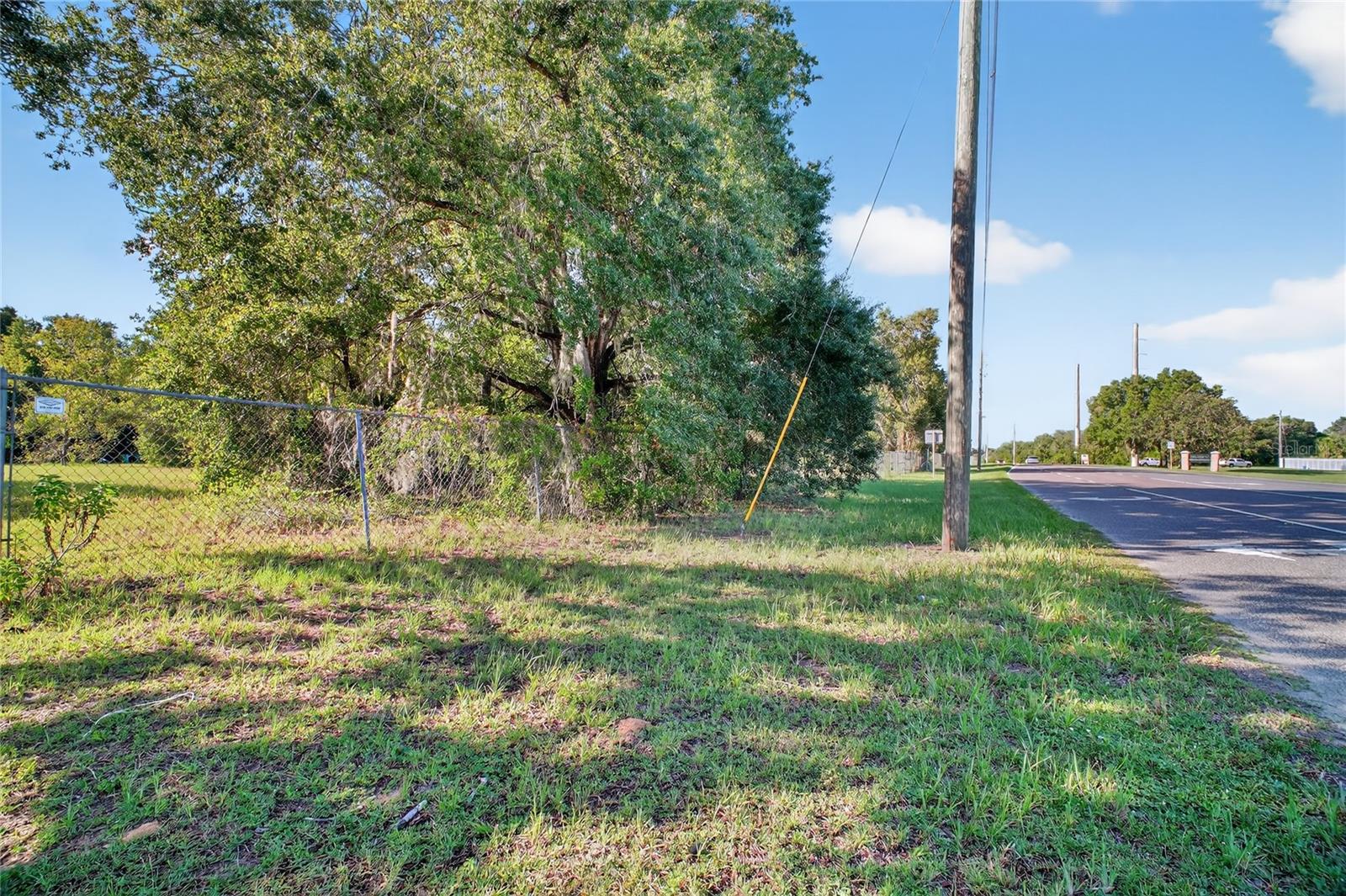
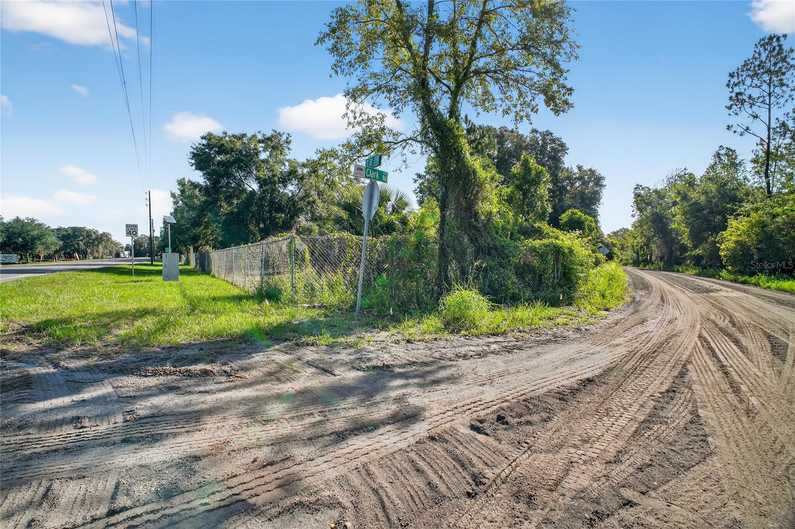
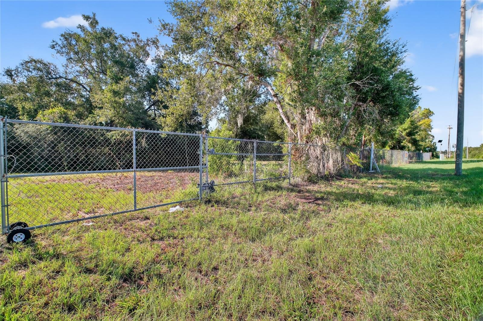
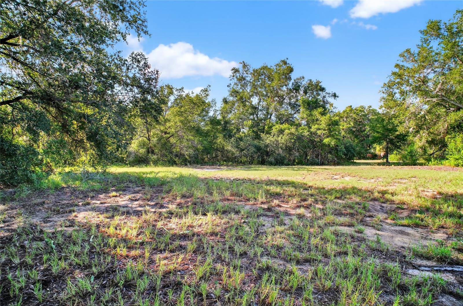
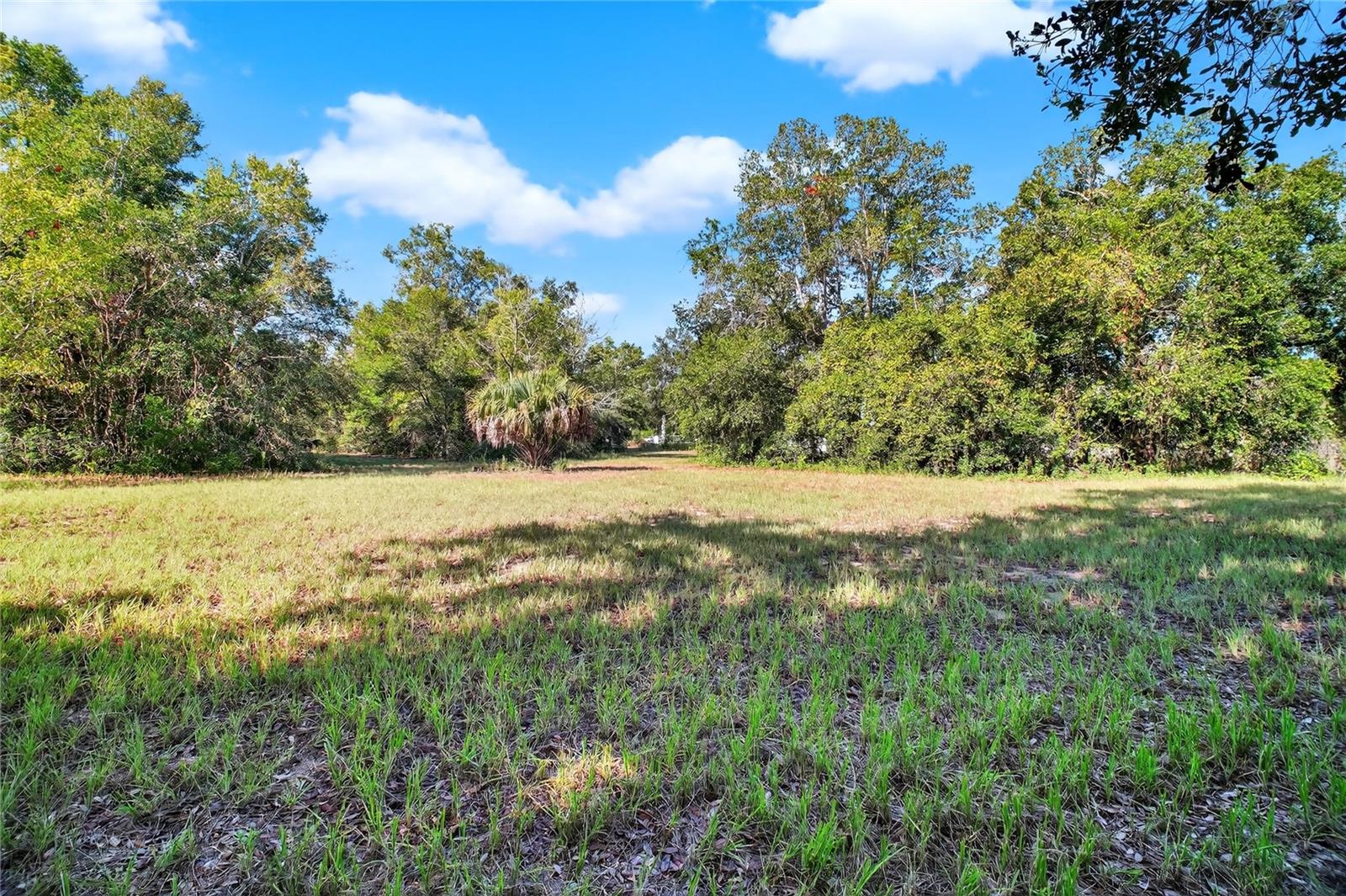
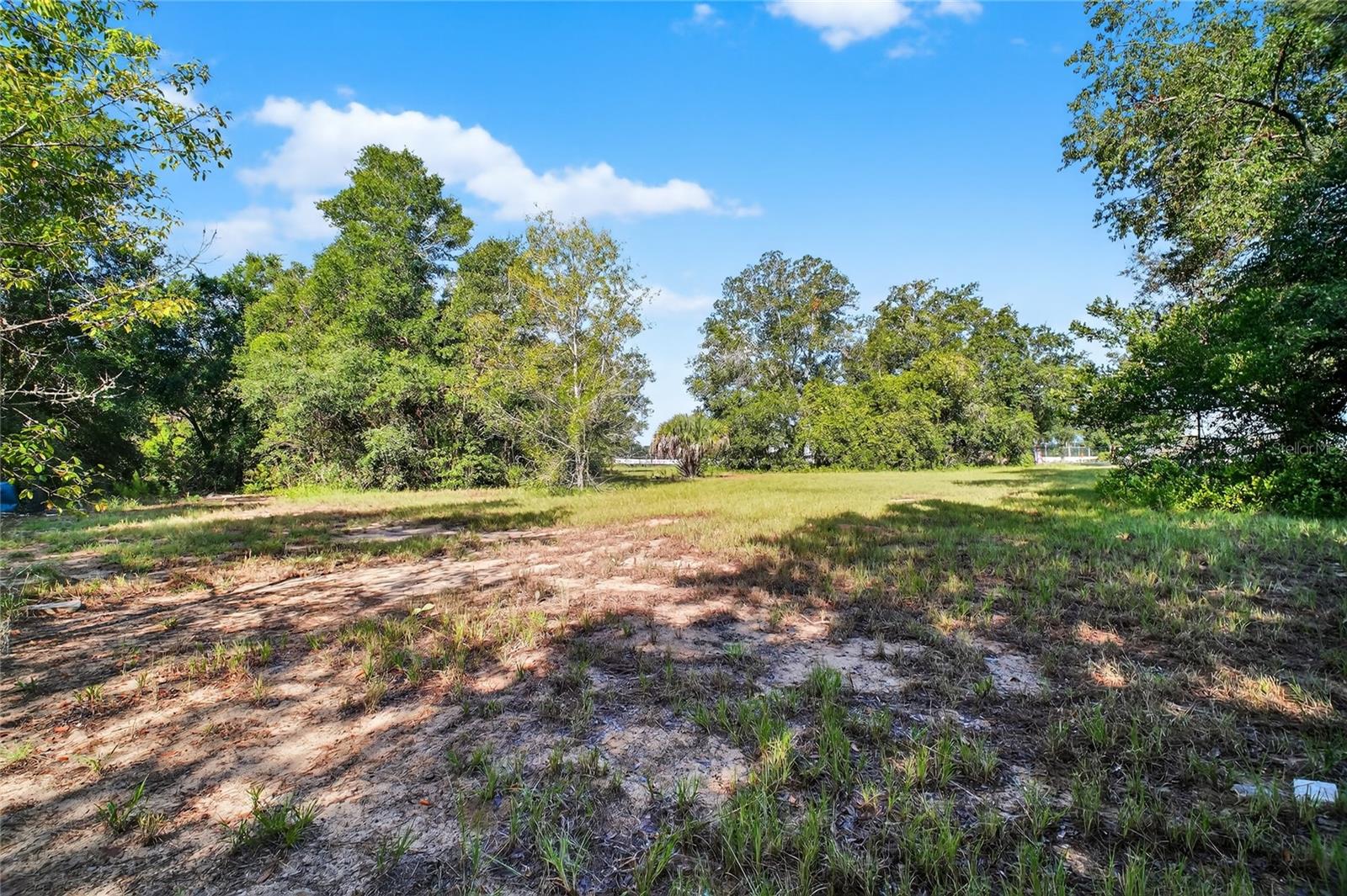
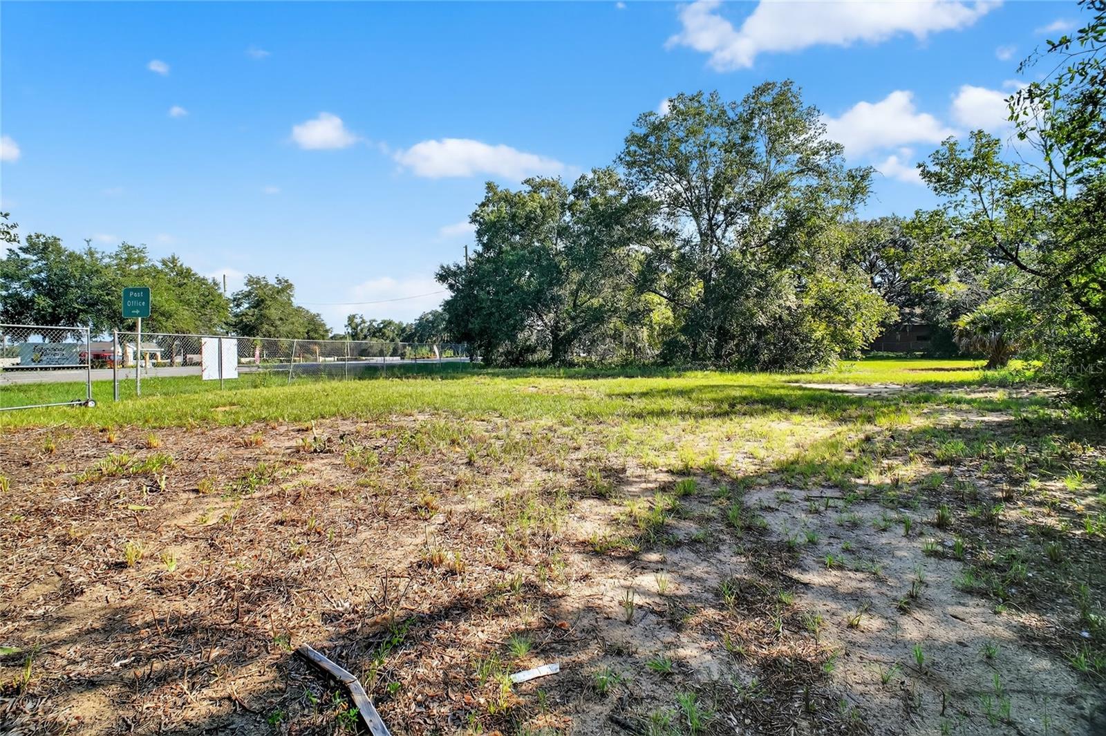
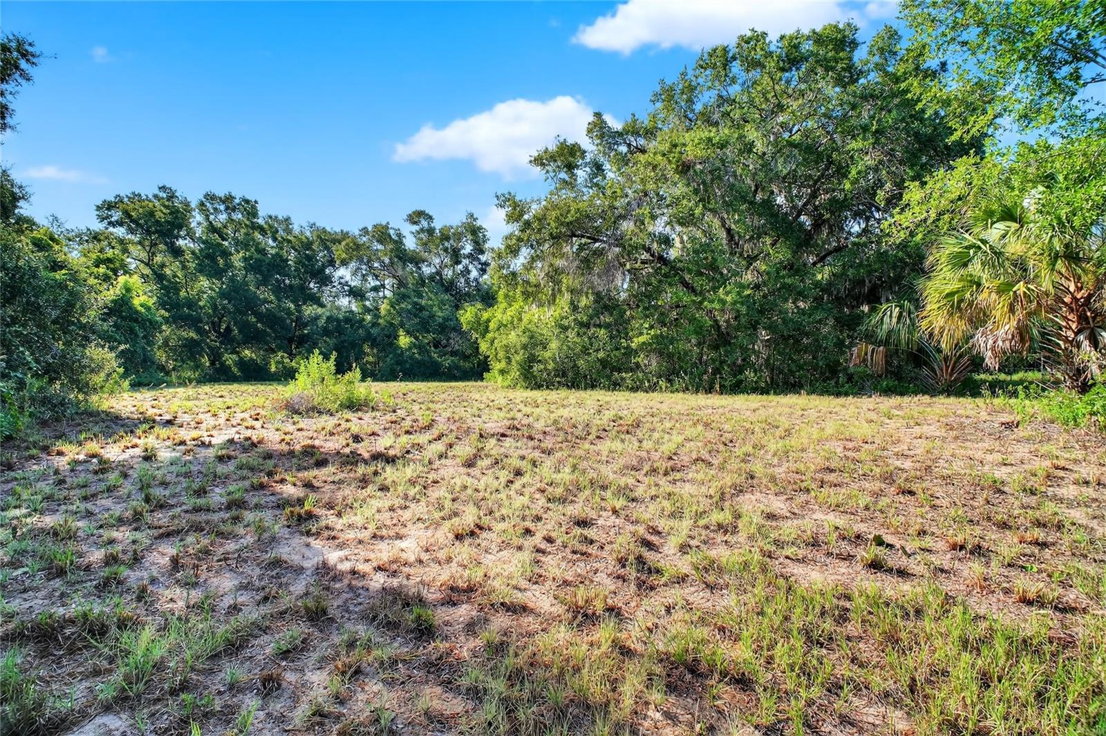
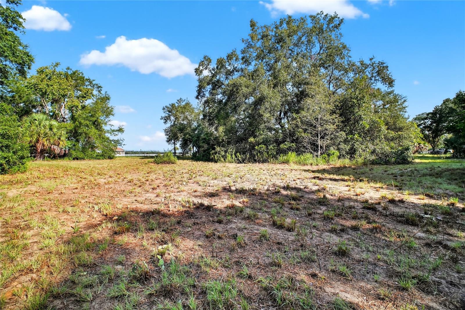
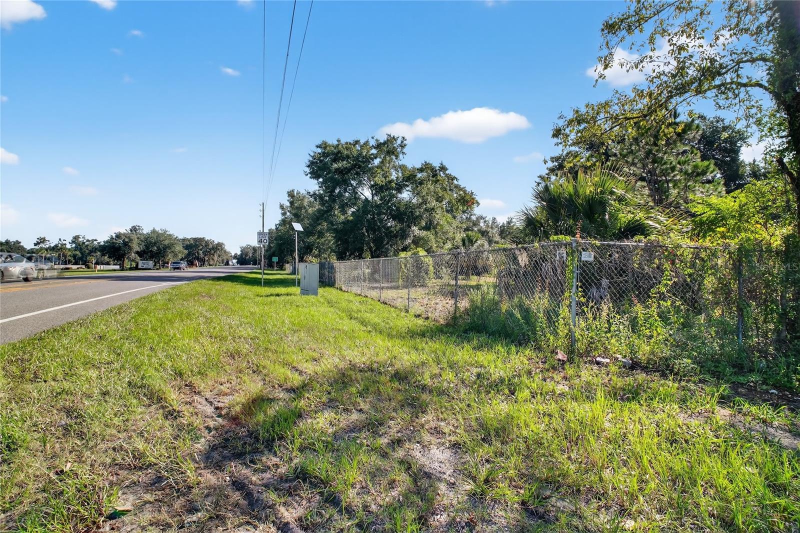
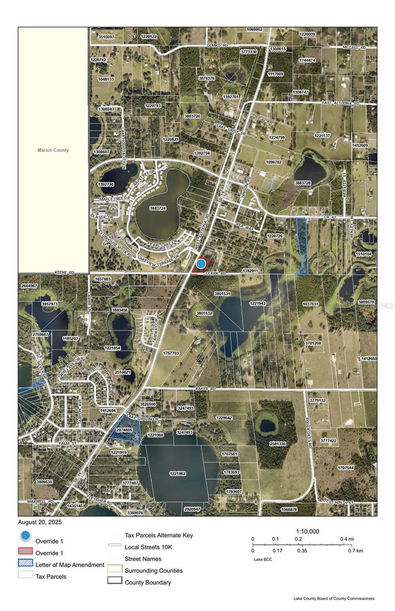
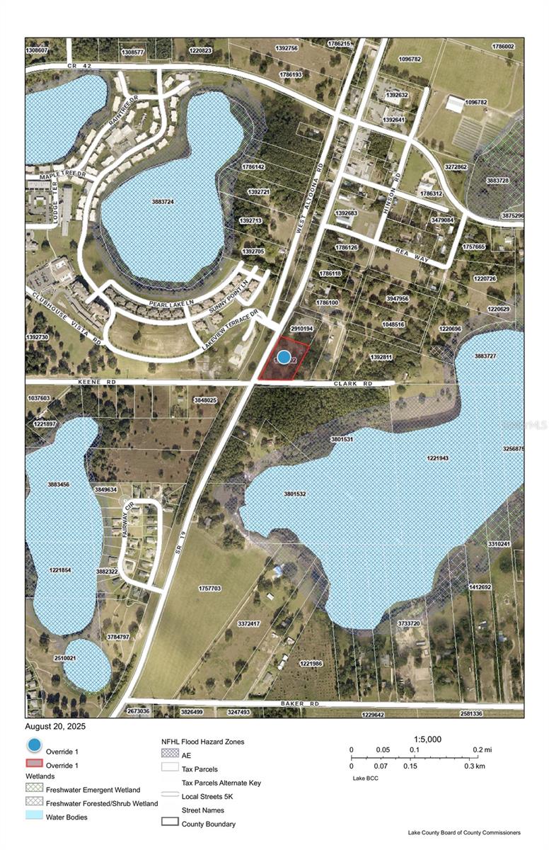
DescriptionOffered is a Commercial (C2) corner on HWY 19 in Altoona. Just next to the Altoona Post Office, this C2 piece is Highly Visible at the corner of Clark Rd and is fully fenced with 405' of Frontage on 19 and 275' of Frontage on Clark Rd. The Future Land Use (FLU) is rural transition with Lake County and the City of Umatilla would be willing to Annex. There is a 12' water main across HWY 19. Approximately 18,000 cars a day per a recent DOT study just South of this property. HWY 42 is only a block North. This is a great location with many potential uses; Professional offices, RV Boat Self Storage, assisted or independent living, Restaurant, medical veterinary, etc. Land is virtually ready to build and a nice grade level. Come take a look today.
